

Geography
Map 1. Shows the outlined boundaries of the Deschutes Basin.
Found at: http://or.water.usgs.gov/proj/ Deschutes_climate_effects/ upper_deschutes_map
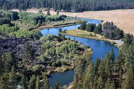
The Hydrology of the Uppper Deschutes watersheds has been formed or modified through frequent geologic events throughout history.
Due to the volcanic geology of the upper Deschutes Watersheds, groundwater is connected to and fed by the Cascade precipitation, streams and irrigation canals.
Size of watershed: The Upper Deschutes Watershed is roughly 10,500 sq miles.
Minimum and maximum elevation:
South sister Mountain is the highest point of elevation in the sub basin at 10,358 feet and the elevation gradually decreases in a general northerly direction down to 1,900 feet where the Deschutes River meets lake Billy Chinook.
Length: 252 river miles
Headwaters: Little Lave Lake
Mouth: Columbia River between Moody and Biggs Junction
Table 10 shows us the Geological details of the Deschutes. There is also a reference image below.


"A thing is right when it tends to preserve the integrity, stability and beauty of the biotic community. It is wrong when it tends otherwise"
Aldo Leoplold
|
|
|
